The Palmyrene Empire, an intriguing but brief episode in the vast chronicles of the Roman Empire, came into existence during the tumultuous Crisis of the Third Century. This period, extending from 235 to 284 AD was marked by military anarchy, economic hardship, and political instability within the Roman Empire.
Named after its capital city Palmyra, an important oasis trading city located in present-day Syria, the Palmyrene Empire was established in 270 AD by its ambitious and formidable queen, Zenobia. Seizing the instability of the Roman Empire, Zenobia declared independence and created an empire extending across large swaths of the Eastern Roman territories.
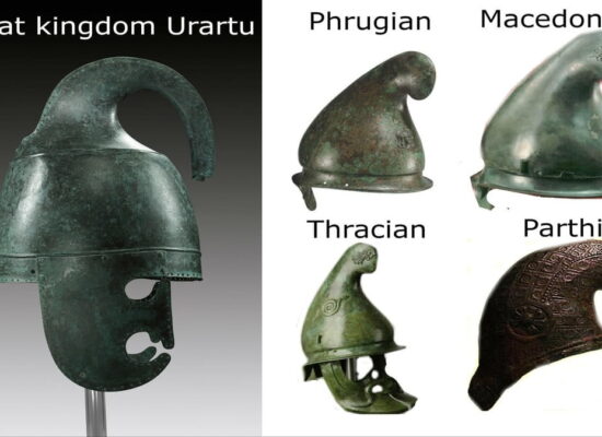
Armenia, with its strategic geographical location and historical significance, featured prominently on the map of the Palmyrene Empire. The region was considered crucial to the empire, both from a commercial and military perspective, due to its position along important trade routes and its proximity to the rival powers.
By 271 AD, the Palmyrene Empire had reached its zenith, encompassing territories from modern-day Egypt in the south to Anatolia in the north and extending eastwards into Armenia. However, the Roman Empire, under the strong leadership of Emperor Aurelian, was quick to respond to the breakaway state.
Aurelian waged a series of military campaigns against Zenobia, gradually reclaiming the lost territories. By 273 AD, Palmyra itself was reconquered, effectively marking the end of the short-lived Palmyrene Empire. Despite its brief existence, the Palmyrene Empire left an indelible mark on the history of the region, symbolizing a period of defiance against Roman dominance.
Vigen Avetisyan
Map Source: Digital Maps of the Ancient World