Alashkert Valley is a fertile valley in Historical Armenia. Its central areas have an average altitude of 1,650 meters, while the highest points reach 1,900 meters.
In the 18th-19th centuries, the Alashkert Valley housed over 360 Armenian villages. Subsequently, as a result of the Armenian Genocide, the majority of the Armenian population was killed or was forced to leave their native lands.
In this area, winters are harsh, while summers are cool. The average August temperature ranges from +16 to +18 degrees Celsius.
Alashkert Valley is home to a dense network of rivers. This land is rich in mineral springs as well. The main river here is the Aratsani River, a tributary of the Euphrates. In winter, many of the valley’s rivers freeze.
The Alashkert Valley is also abundant in fertile soil. The landscape is mostly comprised of meadow-deserts, while the valley areas are rich in shrubs.
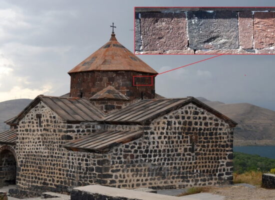
The territory of the Alashkert Valley coincides with the historical province of Bagrevand. The southeastern areas of the Alashkert plain used to be called Dzirav, while the western, main areas used to be called Bagrevand.
The city of Alashkert once stood in the valley as well. This ancient city was founded by Armenian King Vagharsh I in the 2nd century.
In 371, the Battle of Dzirav took place in the valley. In this battle, the Armenian army led by King Pap and Sparapet Mushegh Mamikonyan defeated the Persian army.